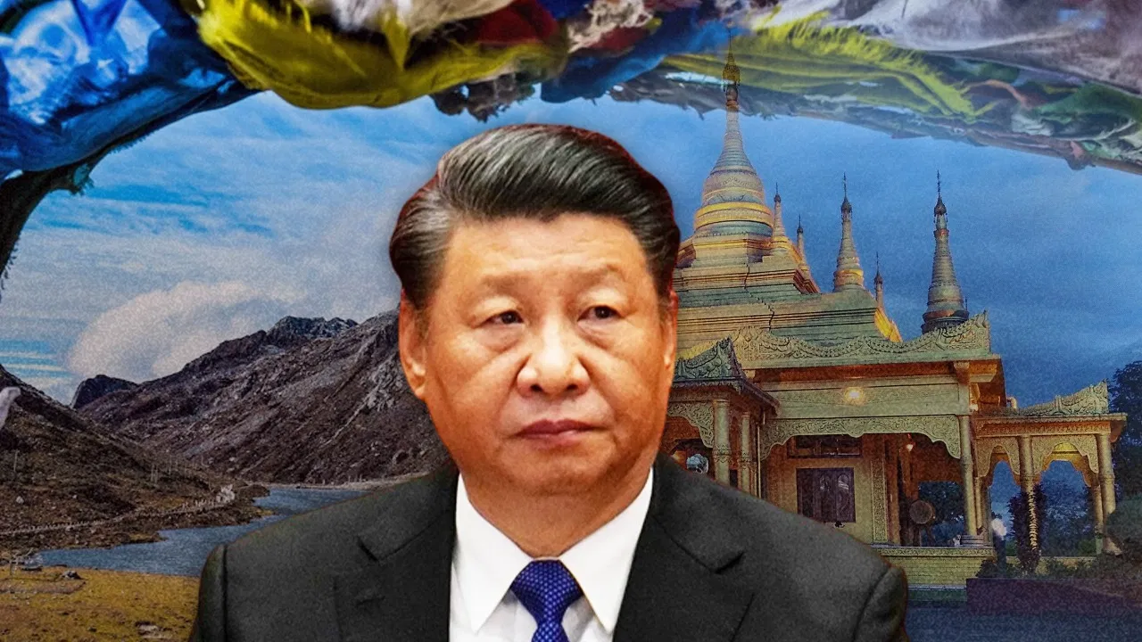
What does China want… Why does it repeatedly claim Arunachal Pradesh?

Once again, China has given rise to a new controversy by changing the name of some areas of Arunachal Pradesh. China’s Ministry of Civil Affairs has changed the names of 30 places while releasing the fourth list. China had renamed 11 places using Chinese characters, Tibetan and Pinyin in April 2023, this was the third list of names. The first list of names was released in 2017, while the second list of 15 places was released in 2021. So far, an order has been issued by China for changing 30 names to be effective from May 1, 2024.
On behalf of India, the Ministry of External Affairs said in clear words that keeping the state with a fictitious name will not change the reality that it is an integral part of India. Both India and China got independence at the same time and since then the dispute regarding this Himalayan region is going on between the two countries. To know this, we will have to go back about 100 years, after which the foundation of the India-China dispute was laid. However, it had started before independence, when in 1914 the British had called a meeting in the name of Shimla Conference, the purpose of which was to decide the border between Tibet and British India.
China has been claiming the entire Arunachal Pradesh for a long time and calls it Southern Tibet. However, the recognition of India’s sovereignty with Arunachal Pradesh is established all over the world. Even in international maps, Arunachal Pradesh is seen as a part of India. There has never been any confusion regarding this issue even in the foreign media, but China has been trying to claim Tibet as well as Arunachal Pradesh.
After annexing Tibet in the late 1950s, China occupied 38,000 square kilometers of Aksai Chin area, which was connected to Ladakh. Here China built National Highway 219, which connects its eastern province Xinjiang and India considers it as illegal occupation of China. Although China tries to stake its claim on the entire Arunachal Pradesh, its special interest is most in Tawang, bordering Tibet and Bhutan, where India’s largest Buddhist temple is located.
China-India borders are divided into three areas. The first is the western region, which is between Ladakh on the Indian side and Tibet and Xinjiang Autonomous Regions on the Chinese side. The second is the central region, which is between Uttarakhand and Himachal Pradesh on the Indian side and the Tibet Autonomous Region of China, and the third is in the eastern region, which is between Arunachal Pradesh on the Indian side and Tibet Autonomous Region on the Chinese side. This is known as Line of Actual Control or LAC. This border existed only as an informal ceasefire between the two countries after the Sino-Indian War of 1962.
The LAC subsequently received legal recognition in the China India Agreements signed in 1993 and 1996, known as the Border Peace and Tranquility Agreement 1993 and the Agreement on Military Confidence Building Measures 1996. Along with this, both the countries had agreed to respect LAC in this agreement. However, this LAC is different from the boundaries claimed by each country in the China-India border dispute.
India says that this border is 3488 km long and China says that it is a little more than 2000 km. Indian claims include the entire Aksai Chin area, which China controls on the western side of the border. On the other hand, Arunachal Pradesh is included in China’s claims, but these claims are not included in the concept of LAC and both the countries also display these areas as their part while mapping their international borders.
This region of India located in the foothills of the Himalayas was earlier called the North East Frontier Agency. It was one of the political divisions of British India and was known by this name until 1972. After this, on 20 January 1972, it received the status of a Union Territory of the Republic of India and its name was changed to Arunachal Pradesh. Arunachal Pradesh was finally declared the 24th state of India on 20 February 1987. It extends from the snow-covered mountains in the north to the plains of the Brahmaputra Valley in the south. If seen area-wise, Arunachal Pradesh is the largest state in the entire North-East region with an area of 8374 square kilometers. Along with this, most of the geographical area is land, which is 98 percent covered by forest and 2 percent by water. This state shares borders with Bhutan, Tibet and Myanmar.


